|
This directory has GeoTIFF versions of the available DOQQs
for the one degree grid of California.
Each tif file also has associated .txt, .xml, .tfw files
that contain metadata data information,
and ESRI world file information.
Datasets are stored by their degree grid, their quad identifier, and
then by their quarter quad designation.
- README (README.html) This file
- README.name the associated quad names for these files
(also in .htaccess for nice web directory listings)
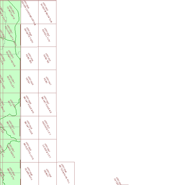
- README.png - image of area covered
- [].tif Has the Geotiff data for the quad or quarter-quad
- [].tif.xml Has an FGDC Metadata Record for the dataset
- [].txt Has the original USGS Metadata Header
- [].tfw Has the ESRI style world file information
|

